Geospatial Analytics
ACRT has partnered with Satelytics — an innovative software company that provides geospatial analytics services and support. We are the first UVM company to offer this service to utilities nationwide.
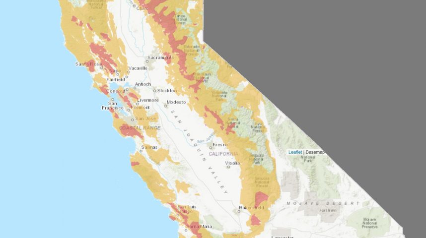
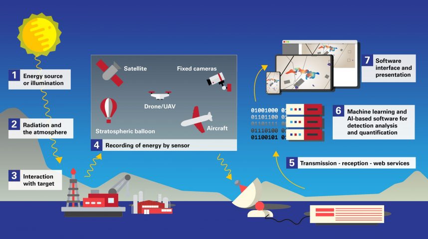
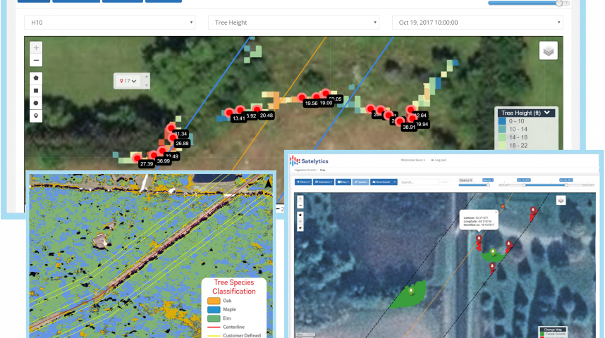
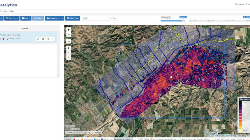
Satelytics uses advanced artificial intelligence to evaluate multispectral and hyperspectral images from satellites, drones, aircraft, nano-satellites, stratospheric balloons, and more — providing utilities with accurate and detailed geospatial analytics about vegetation throughout their systems and ROWs. Using this visual imagery, utilities gain rapid access to in-depth system data — everything from tree species, health, density, and coverage to ROW encroachments, land classification, land movement, and corridor changes.
Data is captured at the frequency desired by the utility and VM program requirements, allowing us to see historical imagery before program initiation, as work proceeds, and at any time afterward. This unprecedented level of detail and its ease of access enables us to quickly and easily monitor and measure VM work, audit tree crew performance in addition to in-the-field auditing, and ultimately provide greater value and certainty to utility leaders.
